
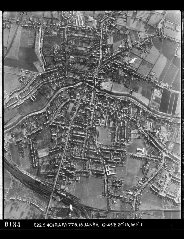
I’m a member of a FB local history group. Someone posted a link to a national database of aerial photos. I checked out a few of March, to see if I could find our home.
Sadly I can’t work out how to download the full scale photo. So both images in this post are screenshots off my iPhone. Hardly ideal! At the top is the full photograph. And below is a zoom in on Creek Rd.

Rather confusingly these photos are upside down, in terms of North/South! I’m going to cross reference these images with Google Earth views, and see if I can pinpoint our place.
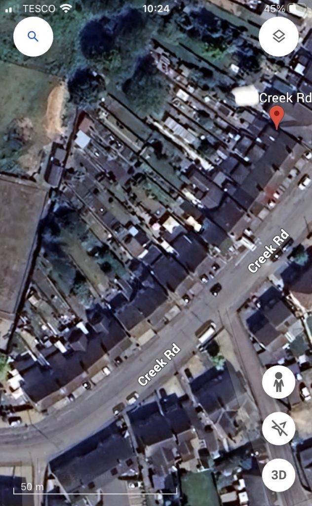
In the above pic, from Google Earth, north-south alignment is nearer to correct. I was able to find ours, thanks to it being end of terrace, and next door to a house with a different roof structure/pattern.
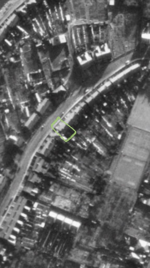
The tennis courts and some other recreational green spaces (middle right, on the above image), behind The Conservative Club – which abut our back garden – are in better condition in these old photographs than they are now.
The third, or lower section (actually the northernmost!), is quite a neat area in the black and white image, above. Now, however, it’s an overgrown scrubby wilderness. I wonder if it might be returned to a nicer state, for the benefit of those, like us, living around it?